Published October 30, 2018
| Version v0.1
Dataset
Open
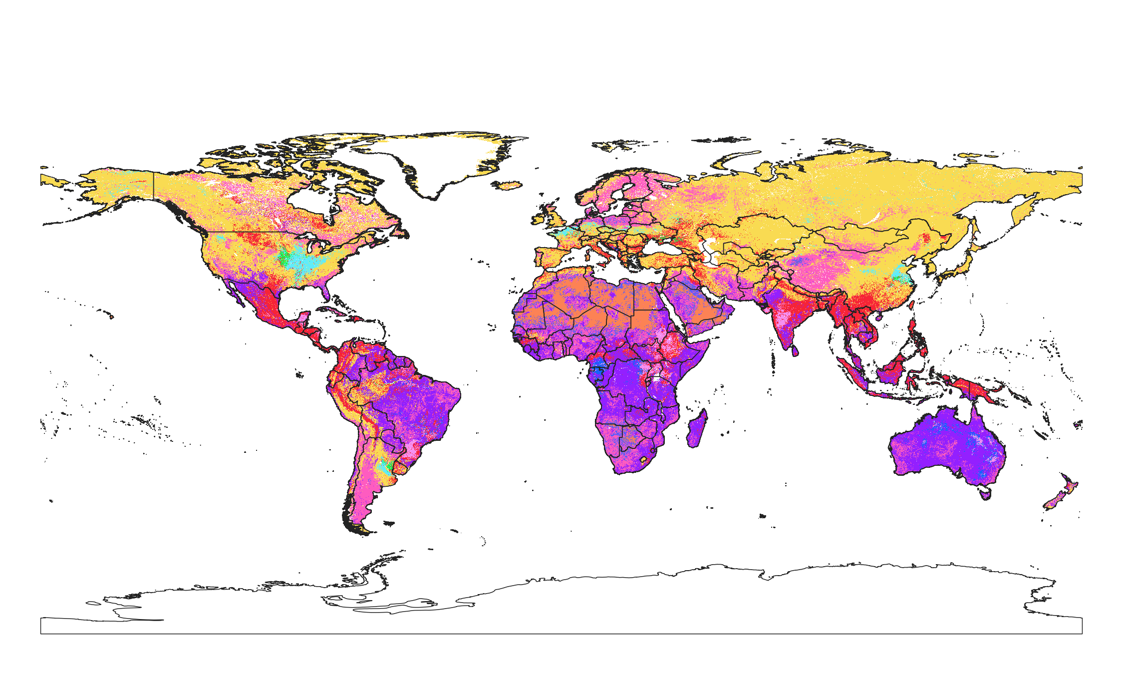
Soil texture classes (USDA system) for 6 soil depths (0, 10, 30, 60, 100 and 200 cm) at 250 m

Description
Soil texture classes (USDA system) for 6 standard soil depths (0, 10, 30, 60, 100 and 200 cm) at 250 m. Derived from predicted soil texture fractions using the soiltexture package in R. Processing steps are described in detail here. Antartica is not included.
All files internally compressed using "COMPRESS=DEFLATE" creation option in GDAL. File naming convention:
- sol = theme: soil,
- texture.class = variable: soil texture class,
- usda = determination method: USDA texture triangle,
- c = factor,
- 250m = spatial resolution / block support: 250 m,
- b10..10cm = vertical reference: 10 cm depth below surface,
- 1950..2017 = time reference: period 1950-2017,
- v0.1 = version number: 0.1,
Files
sol_texture.class_usda.tt_m.png
Files
(2.8 GB)
| Name | Size | Download all |
|---|---|---|
|
md5:0091c6d474256de32ae8a2c77eaf0de9
|
565.6 kB | Preview Download |
|
md5:772831201f355738b180e9cf94bd6b62
|
2.1 kB | Download |
|
md5:8c41b5e5f041dc3510176389b31e7304
|
443.5 MB | Preview Download |
|
md5:b818d17685784f4b7233ca02d60faa77
|
451.2 MB | Preview Download |
|
md5:8bd928fd3bc108b4f382636999e7f82f
|
493.9 MB | Preview Download |
|
md5:7cfc896a89072eb23efd6147d2254b93
|
493.4 MB | Preview Download |
|
md5:c1472e6e3be731c940ca598852dba039
|
465.5 MB | Preview Download |
|
md5:f9fee02821fedd968da16e86ae138e9f
|
489.4 MB | Preview Download |
|
md5:dad356800be2a2833cdd0ae2045f5642
|
349 Bytes | Preview Download |
Additional details
References
- Moeys, J., & Shangguan, W. (2015). soiltexture: functions for soil texture plot, classification and transformation. R package version 1.3. 3.